Landsat View Reveals the Changing Shores of Southern Cyprus
An October observation brings Akrotiri’s seasonal waters and layered geological history into focus.
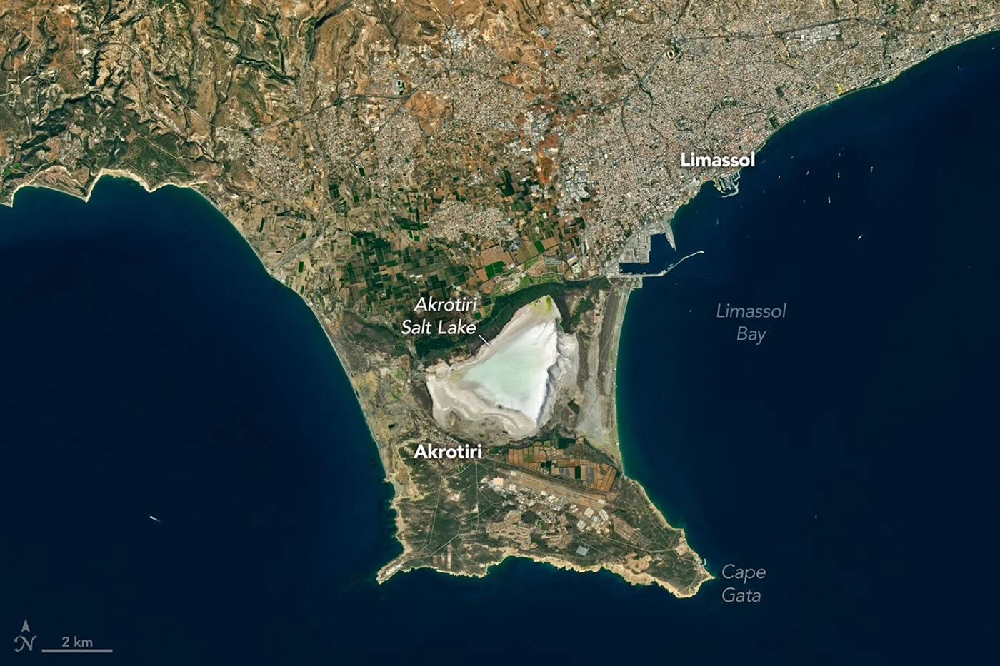
A seasonal landscape
A Landsat 8 image published by NASA Earth Observatory on November 5 shows the bright salt flats of the Akrotiri Peninsula in southern Cyprus. The satellite acquired the scene on October 10, as seasonal rainfall began replenishing the lake. Urban development around Limassol is visible north of the wetland.
How the shoreline formed
The peninsula links older and younger land through sediment-built bridges. Its salt lake was once connected to the Mediterranean. The water level rises and falls with the seasons, making the area a changing meeting point of land, sea and freshwater.
A view with limits
The observation places today’s coastline beside the island’s much older geology. Dark rocks in the Troodos Mountains preserve evidence of ancient oceanic crust lifted above sea level. A single clear image can show the arrangement of these features; it cannot establish a long-term ecological trend on its own.
Background and interpretation. The following sections add editorial explanation to the dated report. Hypothetical examples are illustrations, not newly reported events or interviews.
A coastline is more than its outline
The Akrotiri scene brings together several boundaries: the Mediterranean shoreline, the edge of a seasonal lake, the built environment and changes in the exposed land surface. Those boundaries do not all behave in the same way. A road may remain in place while a water margin moves between seasons. A salt-covered surface can look continuous with a shallow wet area without representing the same condition. Reading the scene carefully means identifying which boundary is being discussed before drawing conclusions about the island's development or the wetland's current state.
Why a seasonal lake needs a seasonal comparison
A waterbody that expands and contracts cannot be understood by treating one date as its normal condition. A fair comparison would ask whether earlier images were acquired at a similar point in the annual cycle. It would also check recent weather and the visibility of the surface. An unusually dry-looking frame and a wetter-looking frame may describe different seasons rather than a lasting change. The report's dated observation is therefore a useful starting point, but it should not be turned into a long-term trend without a suitable sequence of comparable measurements.
Bright salt is not an empty landscape
The pale surface draws attention because it contrasts strongly with the surrounding sea and land. That visual brightness does not tell us whether an area lacks ecological value, is safe to enter or is available for development. Those are different questions requiring their own evidence and definitions. A photograph records reflected light under specific conditions; it does not contain a land-use decision. Treating the bright patch as a surface feature first makes the image more informative and reduces the risk of importing assumptions that the original observation cannot support.
Sediment links water and land
The source describes the peninsula through a history of changing connections between land and sea. In general, coastlines can develop where transported material accumulates as well as where older rock is exposed or eroded. A modern view captures the present arrangement, but the historical explanation depends on more than that view. Identifying a sediment-built connection is not the same as watching it form. The reader should therefore distinguish the visible shape from the geological account used to explain it, especially when a short caption compresses a complicated history into a few sentences.
Interpreting development around a wetland
The nearby urban area provides context for thinking about how people and coastal environments occupy the same landscape. It does not, by itself, demonstrate a particular environmental impact. To assess a claimed change in development, an analyst would need dated boundaries, consistent images and a clear definition of what counted as built land. To assess consequences, additional ecological or hydrological evidence would be required. The image helps locate a question. It cannot replace the work needed to establish a causal relationship between a particular project and a change in a wetland.
A hypothetical shoreline measurement
Suppose a reader traces the lake edge in two pictures and finds different enclosed areas. Before interpreting the result, they would need to know whether shallow water was classified consistently and whether the images were aligned. A wet salt surface might be handled differently by two simple tracing methods. Shadows, clouds and display contrast could create further uncertainty. This hypothetical exercise shows why a precise-looking area number is not automatically a reliable comparison. The definition of the measured boundary and the method used to locate it are as important as the final arithmetic.
Keeping the different timescales separate
The scene can support discussion of daily observation, seasonal water conditions and a much longer geological history. Confusion arises when those timescales are blended. A rainfall-related change in the lake does not explain the formation of the peninsula, and an account of ancient rocks does not establish the cause of a current water level. A clear narrative can move between these scales as long as it labels each transition. This makes the photograph a gateway into several questions rather than a single illustration expected to prove all of them at once.
How another source could add value
A map could help identify roads and settlements; a monitoring record could place the observed water extent in a sequence; and geological research could explain the materials around the peninsula. Each would add a different kind of information. The strongest follow-up would state where those records agree and where their coverage differs. It would not assume that every source describes the same moment. This approach is especially useful for a familiar-looking coastline, where a recognizable shape can create unwarranted confidence that the reader already understands its history and present condition.
The importance of a modest conclusion
The defensible conclusion is that a dated Landsat scene offers an unusually broad view of a changing coastal setting. It helps connect the wetland, nearby development and the surrounding Mediterranean in one frame. It does not provide a current conservation assessment, a prediction of future shoreline position or permission to enter any particular area. Keeping the conclusion proportionate to the evidence does not make the image less interesting. It makes room for the real complexity of a place where seasonal conditions, human activity and geological history overlap without being interchangeable.
Thinking about the lake as a balance
A seasonal waterbody can be understood through the general idea of a balance: water enters, leaves and is stored over a chosen interval. Describing a rising or falling margin does not separately measure each part of that balance. That distinction is helpful when reading a photograph of a lake near the sea, where several processes may be relevant. This article does not calculate the Akrotiri water budget or assign a measured share to any pathway. It uses the balance concept to explain why a visible change can raise a good question without independently establishing the contribution of every process behind it.
When reading a landscape image, separate what the camera records from what researchers infer using fieldwork and earlier observations. Brightness, water coverage and vegetation can vary between seasons. A fair comparison needs dates, similar viewing conditions and a record extending beyond one scene.
Source & verification
This independently written summary is based on NASA’s original report, released 2026-11-05. Consult the source for research details, methods and subsequent updates. NASA does not sponsor or endorse this publication.
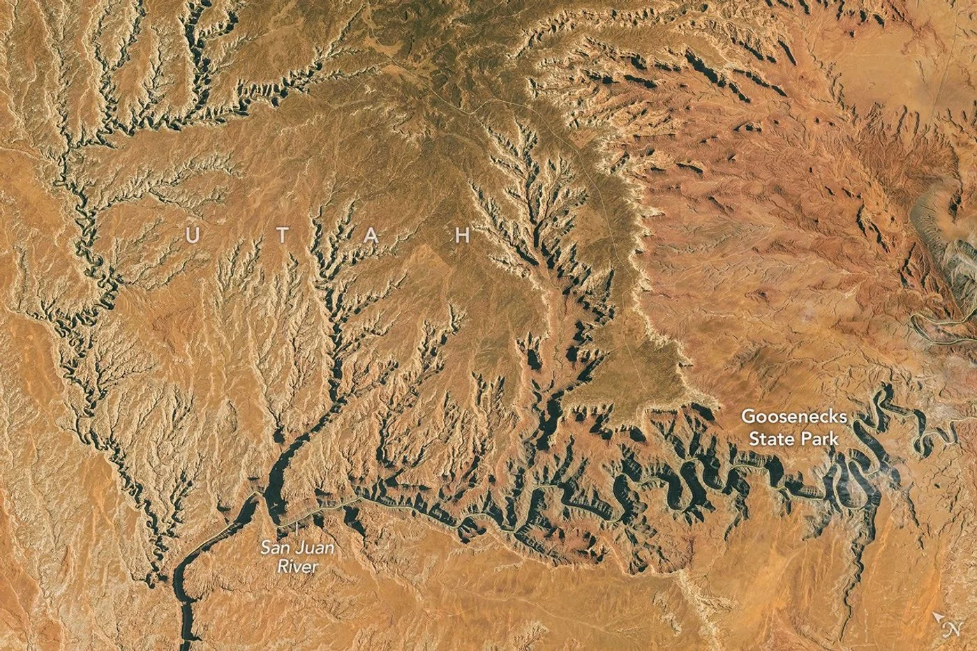 Astronaut Photograph Follows Utah’s Deeply Winding San Juan River
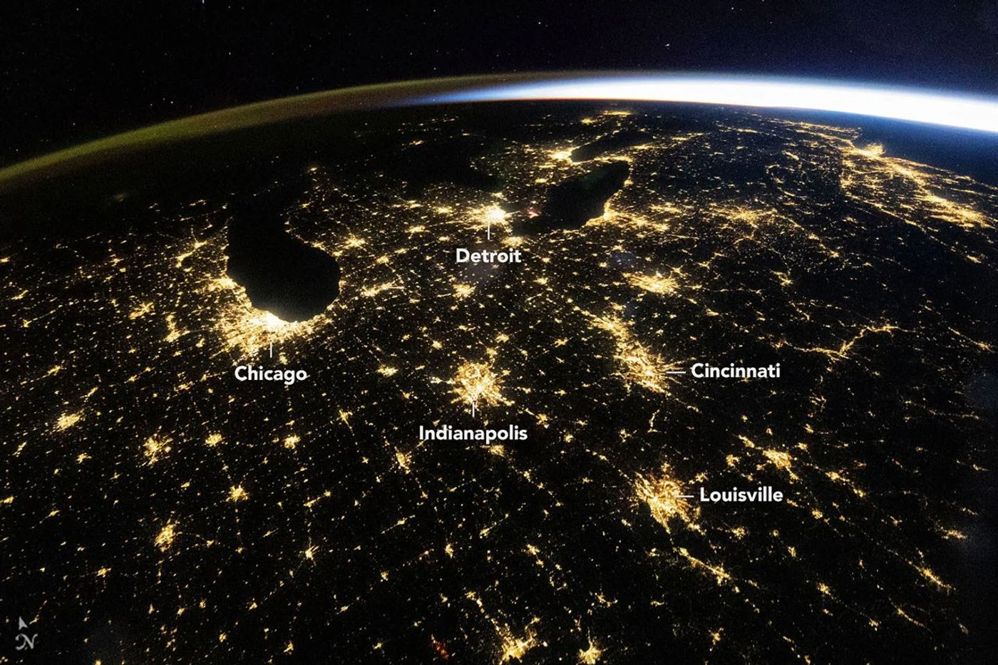 ISS Photograph Captures Midwest City Lights Before Sunrise